Our 2,800-hectare masterplan concept for Baiyun Lake Digital SCI-Tech City in Guangzhou, China
Chapman Taylor, in collaboration with landscape architects Turenscape, has created an urban design concept for a new science and technology hub in the Chinese city of Guangzhou.
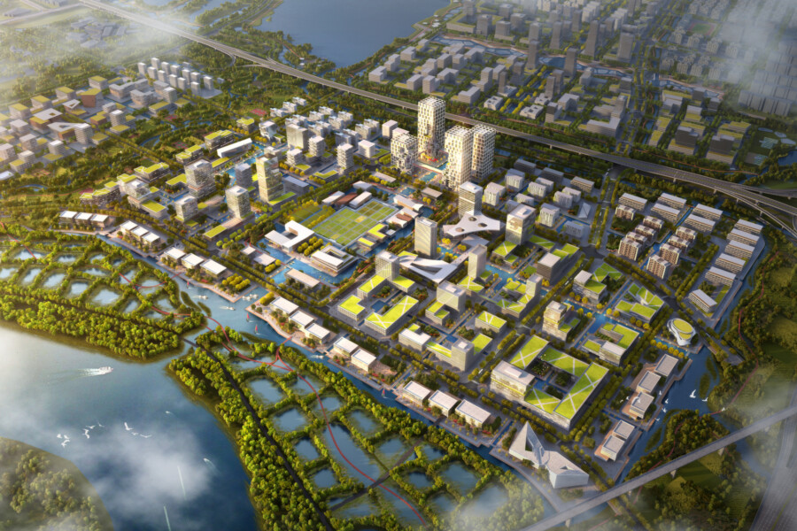
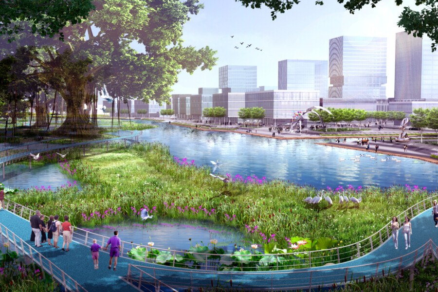
The 2,800-hectare masterplan concept for Baiyun Lake Digital SCI-Tech City envisages a mixed-use core area with cultural, educational, entertainment and service functions arranged around waterfront corridors, connected by green and blue corridors to commercial, industrial and R&D areas.
The commercial, industrial, residential and R&D elements are located within four blocks which surround a natural axis of two waterways; the two northern blocks are the talent incubation bases of the Tsinghua Science and Technology Park and Peking University Industrial Park, while the two blocks in the south are used for residential land. Apartments are located around the business area and larger residential buildings are located at the edge of the cluster.
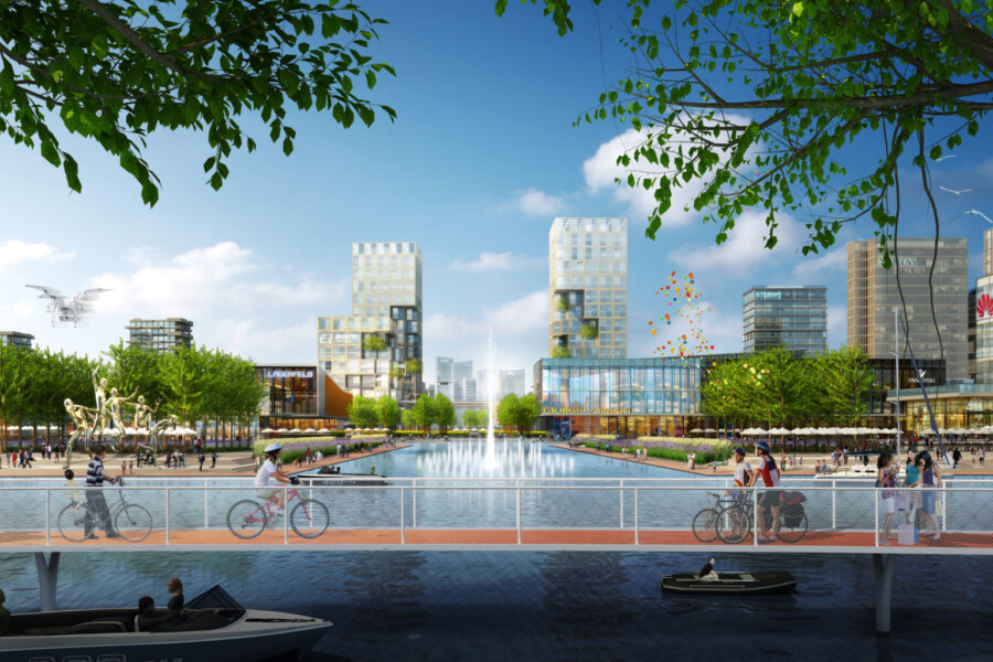
The commercial axis is a key urban interface within the masterplan, with the architectural form inspired by pixel painting. The design creates a pleasant space between the concave and convex advances and retreats, which is ideal for creative interaction and collaboration. The commercial area’s waterfront features a large step that is integrated with the natural grassland, providing a rest space while attracting people in to activate the space.
There are three, function-influenced architectural styles within the core area. The commercial area consists of a high-rise building integrated with the landscape and the lively commercial street. The industrial area adopts the form of semi-enclosed block, while the residential area consists mostly of panel buildings to optimise sunlight reception and the wonderful landscape views for residents.
The commercial offices are predominantly blue-grey in colour, the industrial area is largely off-white and the residential area mainly adopts an elegant brown. The distinctive roof styles and three-dimensional greenery further reinforce the colourful and ecologically friendly visual identity.
The skyline of the core area steps in height so that it is tall in the urban centre, where the subway stations sit, and low in the surroundings, ensuring that residents can enjoy views of diverse ecological landscapes, including fields, rivers, streams, and ponds.
The urban planning approach is based on a 15-Minute City framework to help ensure that the district is liveable, pedestrian-friendly and easy to navigate while being well-served by a comprehensive public transport network.
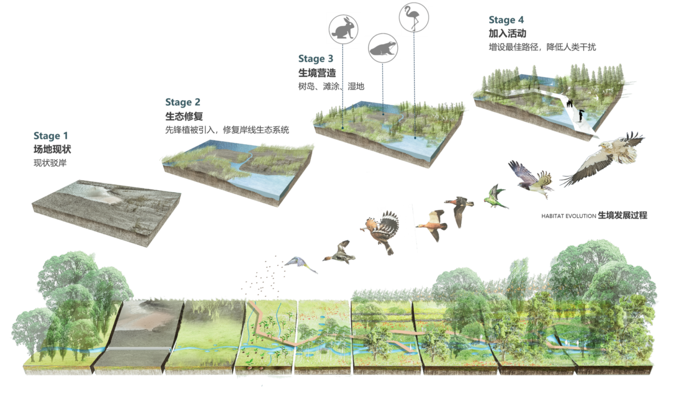
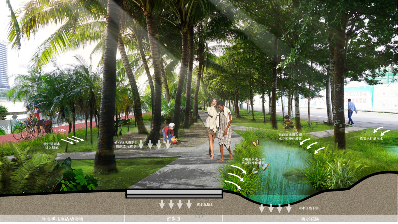
The flood-resilient masterplan employs Sponge city principles, using Mulberry fishponds along the Pearl River and earthwork banks to protect against flooding while safely diverting any excess rainwater into the lake. Our reverse urban design strategy saw the flooding channels and ecological framework put in place first before designing the urban areas around those, ensuring minimal disturbance to the existing eco-system.
This masterplan concept is designed as the socially, ecologically and commercially sustainable basis for a strategically located hub serving the Guangdong-Hong Kong-Macao Bay region.
