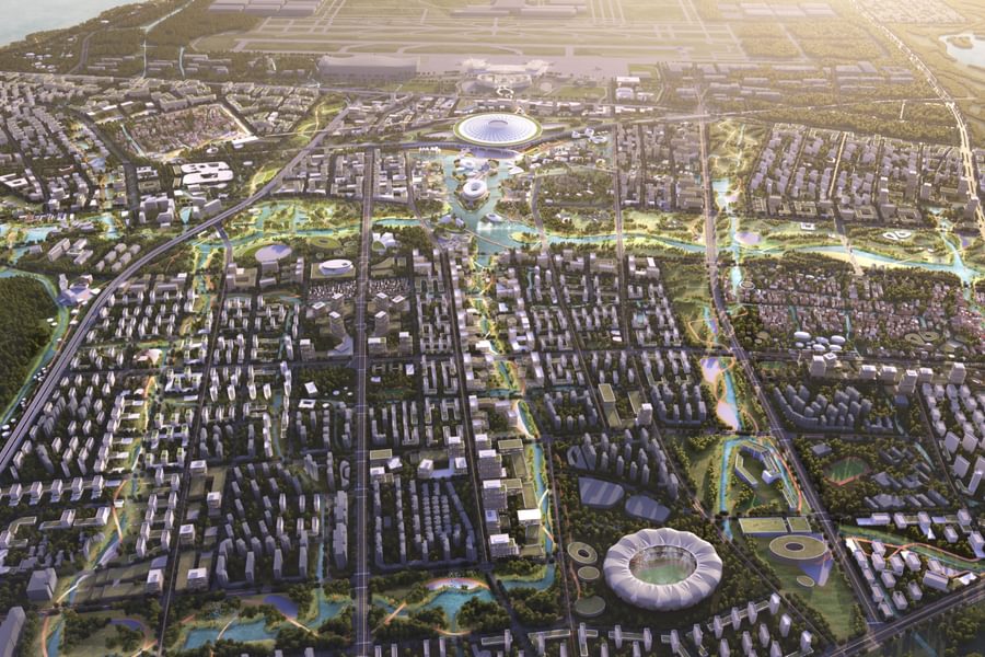
Transport-orientated eco-city masterplan created for Wenzhou Eastern New Town in China
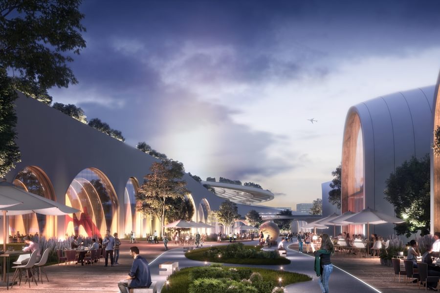
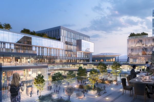
Chapman Taylor has created a transport-orientated masterplan for Wenzhou Eastern New Town in Wenzhou, China.
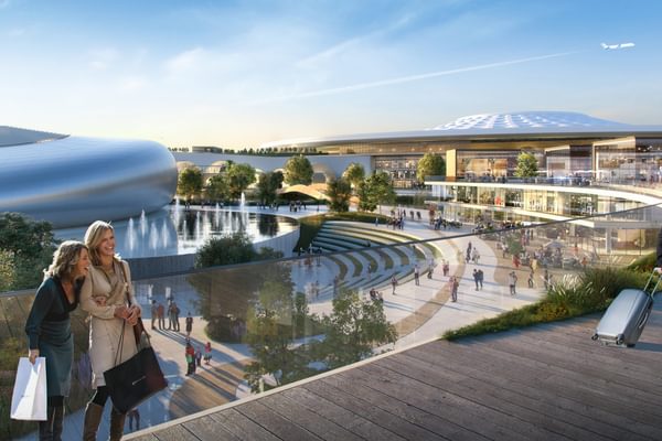
The design creates a new eco-city with residential, leisure, retail, cultural and industrial areas strategically placed according to 15-Minute Living principles. The three-dimensional and comprehensive design integrates at least seven modes of transportation, including aviation, high-speed rail, metro, intercity, waterway transportation, a BRT system and regular public transport, around which a number of interlinked centres will grow.
The 65km2 site is located at the intersection of the Yangtze River Delta Economic Circle and the Taiwan Straits Economic Circle. The design’s “Super Link” concept provides for fast travel between the city’s airport and the high-speed railway station, helping to create excellent connections between Wenzhou and other regional and global cities.
The existing local industrial sector has great potential for growth but requires better links with the core area of Daluo Mountain area. The masterplan seeks to rectify this by better connecting different industries, accelerating the construction of Daluo Mountain Super Ring Linkage and driving the development of the East New City. The proposals envisage industrial, logistics and R&D facilities coalescing around the core air transportation sector, boosting demand for Longwan Airport’s services.
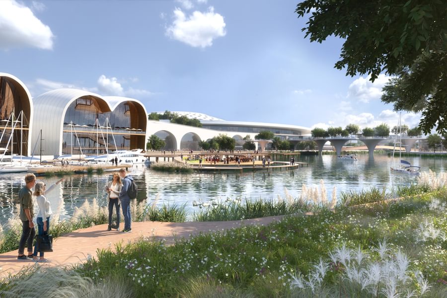
The masterplan adopts Sponge City principles, making use of the current waterway system while constructing a hydrological “Super Link” to effectively connect isolated potential water storage spaces such as ponds, wetlands and lower lands so that water can be quickly drained in the flood season and stored in the dry season. By softening the "nine-curved water chain" generated by the current waterway system, a multi-level landscape “Super Link” is formed, extending the central green landscape around the Yongqiang River into the main open space of the city and forming an urban green habitat covering the whole area.
Each curve of the nine-curved water link contains a city sharing place, the water linking a collection of eight city groups. By connecting the dense network of people-friendly streets and alleys, the high-speed railway station is fully integrated within the city fabric, with an organic sequence of overground and underground spaces as well as unified and coordinated vertical urban spaces.
Based on existing, high-quality roads such as Airport Avenue and Yongqiang Avenue, the external traffic is integrated into the regional network, seamlessly connecting with the internal public transportation system. The road layout creates a vehicle and pedestrian-friendly “Super Link”.
Longwan waterway has been the basis of the Ou River culture for thousands of years. By connecting Siqian Street, Ning Village, Yongchang Bao, Olympic Park, the Government District, Huangshi Mountain, Daluo Mountain, East Wenzhou Railway Station and other important areas, the masterplan creates a cultural “Super Link” that respects the past while focusing on the future. The masterplan places a particular focus on the cultural renewal of Wenzhou’s artistic community, providing spaces in which local art and culture can flourish, including an art and business hub around the railway station.


